
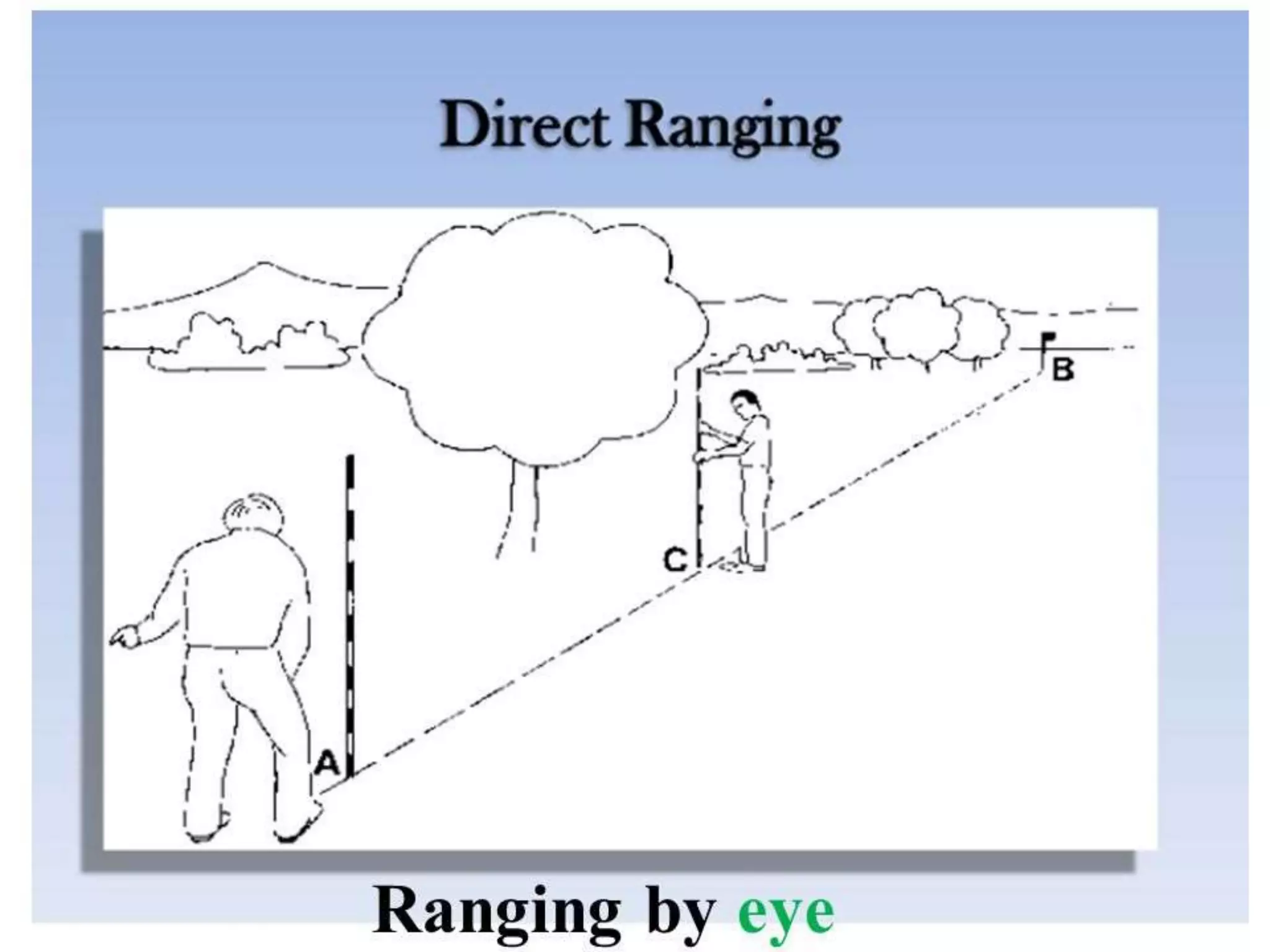
OK, maybe not a transit and laser -- but OP may require at least one or two other people if you're going by Mark 1 Mod 0 eyeball and not something as primitive as a compass and chains.
He's got to lay out his line before clearing the first tree or bush if he doesn't have line-of-sight. How do you do this with a phone or GPS?
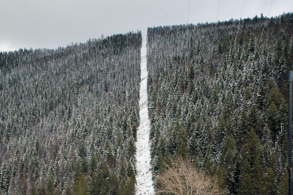
Lewis and Clark surveyed the west with chains. The photos below are the US-Canadian border. Imagine surveying that with a ball of string and a compass.

I still think the lasers, and string lines are more than enough.
The OP is only going 300y and there’s a hill…that I presume is higher than the brush….
If this was miles in a jungles deep canopy, I could see mapping, GPS, or otherwise complicating it.


